Four Free Apps For Navigating with a Wheelchair When You Live With SCI
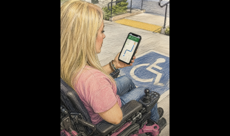
When you live with a spinal cord injury (SCI) you’ll most likely have to adapt to living life with a mobility device. A majority of Americans with SCI use wheelchairs more than 40 hours a week. Navigating the world on wheels can be a challenge. Locating wheelchair friendly routes, accessible restrooms, and disability parking are all made easier by multiple free mobile applications. Download these to your Android or iPhone.
AccessNow
Find out if a restaurant, store, or another place of business or pleasure can accommodate your wheelchair. This app features crowdsourced venue and business reviews. You can preview the layout of the place, find out whether the doors are automatic, or check out the height of the tables. Green means go– it’s accessible! Leave your own review for the next visitor. A key limitation is that map coverage depends on community activity.
WheelMate
This application specializes in locating accessible restrooms and parking spots. It opens an instant map showing wheelchair-friendly public toilets and dedicated parking spots close to your current location, and provides GPS routing and directions from where are to your chosen facility. You can add, verify, and rate spots to ensure the details remain accurate and useful.
Google Maps (Accessible Places)
Turn on the “Accessible Places” feature in your Google Maps app settings. Once enabled, a wheelchair icon will show next to businesses with accessible entrances, seating, restrooms, or parking. You can also filter transit and walking directions for wheelchair-friendly routes. Look for a wheelchair icon next to the name of a place in your search results. A crossed-out icon means the location lacks an accessible entrance.Tap a location and scroll down to the About section to check for accessible parking, elevators, restrooms, or seating. To find accessible transit routes select wheelchair accessible under routes, then pick your path.
MyPath
This free application maps out safe sidewalk and street routes, allowing wheelchair users to avoid steep or bumpy terrain. This AI-powered accessibility navigation project utilizes geospatial data fusion and language models to analyze public mapping databases (like OpenStreetMap). It’s available in a select few areas but if you download the app you can be part of the project, collecting data for your area.

 Phone: